Interactive Data Projects
Featured Project
Connecticut Population Estimates Dashboard
Visit our interactive dashboard to explore estimates of Connecticut’s total population at the state, planning region, and town levels from the Census Bureau’s Population Estimates Program (PEP) and the official population estimates for the state of Connecticut certified by Connecticut’s Department of Public Health (DPH). The dashboard also shows estimates of the components of population change (births, deaths, and domestic and international migration) for the state and planning regions from the PEP, and new housing units permitted annually in each town from the Census Bureau’s Building Permit Survey.
Business
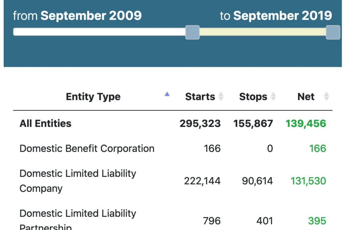
Business Starts & Stops
General overview of the number of business entities registering and dissolving in a given month.
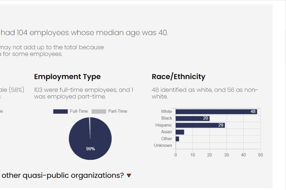
Connecticut Quasi-Public Organizations
Browse checkbook and payment information of quasi-public organizations in Connecticut.
NAICS Code Lookup
Use the search tool to find a NAICS code that best describes your business activity among 1,057 available NAICS codes.
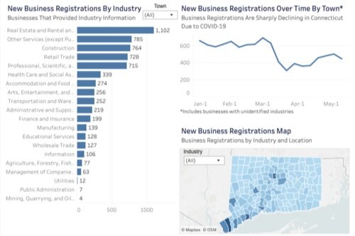
New Business Registrations
Our Tableau dashboard shows new business registrations in Connecticut, including data by industry.
Census Data Tools
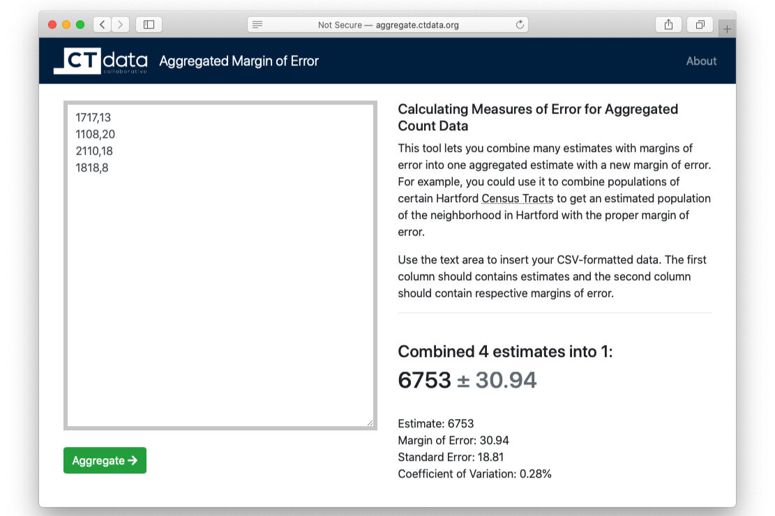
Aggregate Margins of Error
Combine many estimates with margins of error into one aggregated estimate with a new margin of error.
ACS 2021 Tool
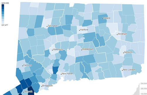
Connecticut Measured By 2021 American Community Survey, 5-year estimates. This interface maps some of the most in-demand variables for Connecticut towns.
Connecticut Planning Region Boundaries
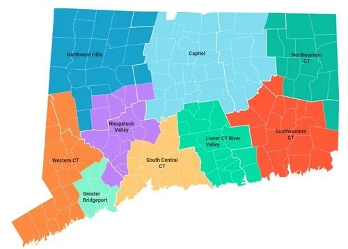
See the map above for the planning region boundaries, the towns within each planning region, and historical county boundaries (delineated by thick white borders).
NEW: Connecticut Population Estimates Dashboard
An interactive dashboard to show Connecticut population estimates. Published 2024 Sept.
CT 2010 Census Tracts -> Towns
This tool lets you convert Connecticut census tracts into towns where these tracts are located.
Differential Privacy Impact Demo Tool
Compare town-level data based on the IPUMS joint data release of the original 2010 decennial data and the 2010 datasets with differential privacy rules applied.
Civic Engagement
2024 Potential Voters Map
We’ve analyzed voter registration data in Connecticut, and created interactive web maps to help you find potential unregistered voters and help them get registered to vote. Zoom in to find specific neighborhoods, or look at the whole state to identify towns were there are potential, unregistered voters.
Hartford Neighborhoods Voter Data Story
What was the participation of currently registered Hartford residents during the previous municipal election (2019)?
What share of residents in the neighborhoods voted in that election? How does that differ by age group?
In which neighborhoods have residents voted at higher rates and lower rates?
Demographics & Population
2020 Demographics and Housing Explorer
The 2020 Demographic and Housing Characteristics File (DHC), released by the U.S. Census Bureau in May 2023, is one of many data products released as part of the 2020 decennial census.
ACS 2021 Tool
Connecticut Measured By 2021 American Community Survey, 5-year estimates. This interface maps some of the most in-demand variables for Connecticut towns.
Aggregate Margins of Error
Combine many estimates with margins of error into one aggregated estimate with a new margin of error.
Connecticut ACS 2018 Map
American Community Survey 2018 5-year estimates for Connecticut towns and census tracts compared to ACS 2013 5-year estimates by CTData Collaborative.
Connecticut AAPI Ethnicities Map
Use this dashboard to explore 2020 Census data about Asian and Pacific Islander ethnicities in CT.
NEW: Connecticut Population Estimates Dashboard
An interactive dashboard to show Connecticut population estimates. Published 2024 Sept.
County Stories
See how the 8 Connecticut counties compare in demographics and economy.
DMHAS Regional Data Stories
Regional interactive data stories show cross-sector data that describe general characteristics of each of five DMHAS regions.
Hartford Data Platform
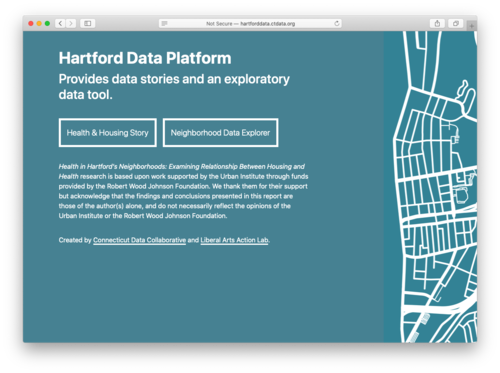
A geospatial analysis that maps Hartford housing conditions with the 500 Cities dataset of health outcomes, to better understand which neighborhood conditions could be improved.
Hartford Young Children Data Story
An overview of young children in Hartford in an accessible format that is easy to navigate.
Northwest Hills Data Explorer
The dashboard provides an overview on topics such as population and population change for 21 towns in CT.
Women & Girls Data Platform
An online, interactive tool to provide access to publicly available data specific to regional, city, and statewide levels and aggregated for gender and race.
Health and Mental Health
Connecticut Covid-19 Data Hub
This data hub brings together all of our Covid-19 related data analysis in one place.
Connecticut Covid-19 Tracking
This dashboard is updated daily with Covid-19 data from Connecticut Department of Public Health.
Health in Hartford’s Neighborhoods
Data story and data platform on housing conditions and health outcomes in Hartford.
Nursing Data Portal
Three data stories on supply, education, and demand for nurses in Connecticut.
SEOW Prevention Data Portal
Centralizing Connecticut’s epidemiological data in support of a comprehensive public health approach to substance abuse prevention and health promotion.
Adverse and Positive Childhood Experiences in Connecticut
An interactive source for Adverse and Positive Childhood Experiences (ACEs and PCEs) data in Connecticut.
Housing
2020 Demographics and Housing Explorer
The 2020 Demographic and Housing Characteristics File (DHC), released by the U.S. Census Bureau in May 2023, is one of many data products released as part of the 2020 decennial census.
NEW: 2024 PSC Housing Data Profiles
Online platform with data on housing stock, income, race, age distribution of residents, housing characteristics, housing costs and affordability, housing production and affordable units in Connecticut. It is updated with 2022 ACS 5-year estimates.
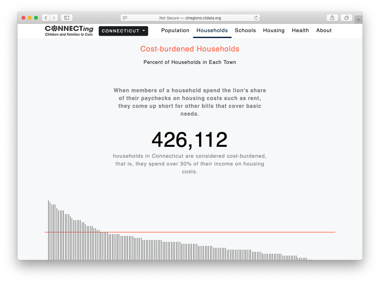
CONNECT Data Stories by DCF Region
Seven data stories about who lives and works in Connecticut, some of their educational experiences, and health outcomes.
Connecticut Evictions Interactive Map
You will understand the intersection of race and sex in Connecticut’s Eviction Crisis. It includes:
1. The Eviction Map;
2. The Full Report;
3. A Summary.
Connecticut Zoning Atlas
This interactive map—the first of its kind in the state—includes all 2,616 zoning districts and two subdivisions and allows users to view the type of zoning district and filter by permitted residential uses. The tool also includes overlays for rail, CTfastrak, and ferries.
Housing Portal
Visualizations and analysis of historic and geographical housing data from Zillow and US Census for Connecticut towns.
Town Profiles
Two-page PDF reports of demographic and economic information for Connecticut's towns.
Regional Data
CONNECT Regional Data Stories
Seven data stories about who lives and works in Connecticut, some of their educational experiences, and health outcomes.
County Stories
See how the 8 Connecticut counties compare in demographics and economy.
DMHAS Regional Data Stories
Learn cross-sector data about each of five DMHAS regions, including demographics, income, substance use, mental health, and schools.
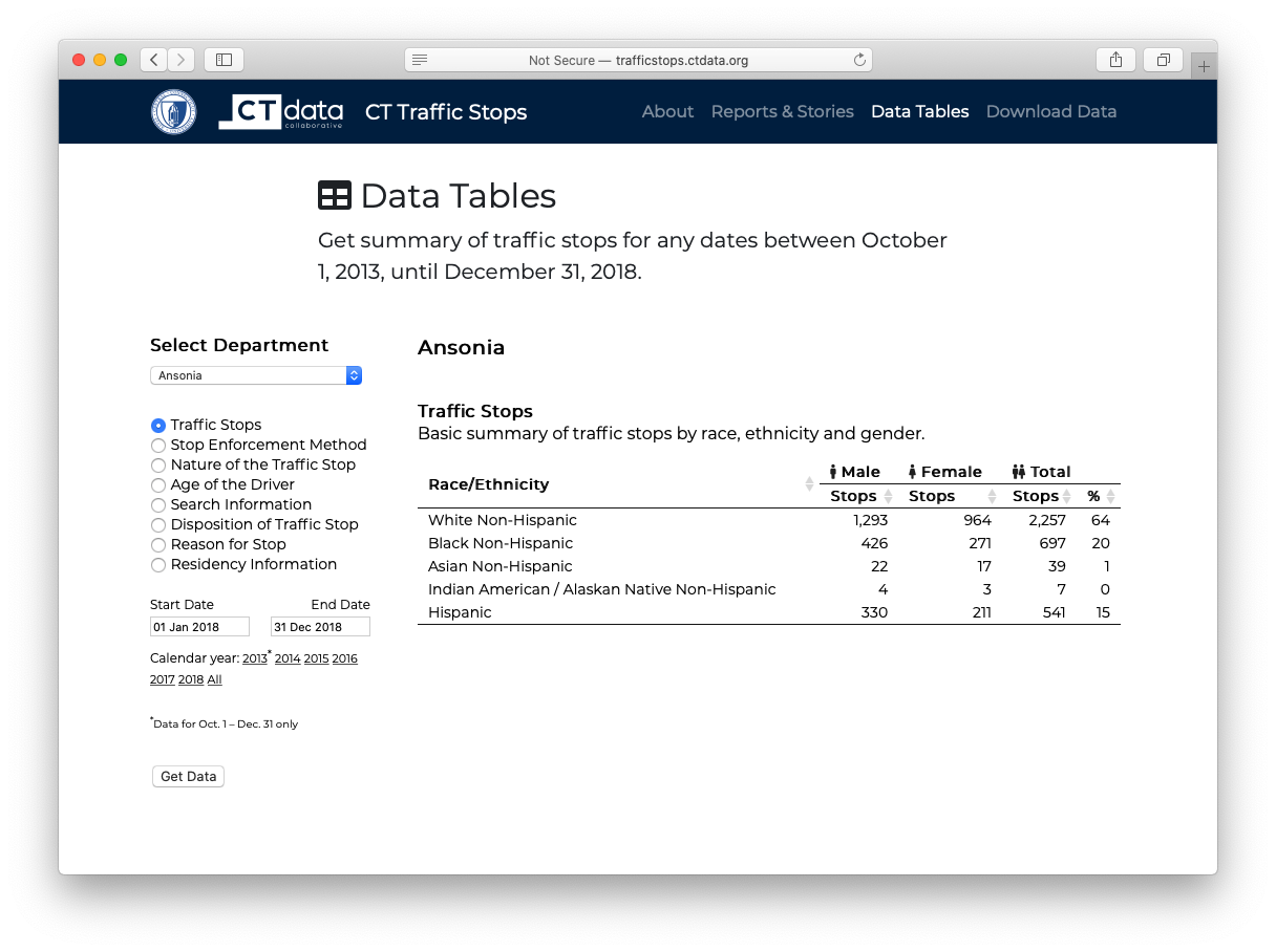
Racial Profiling Prohibition Project
Providing access to raw traffic stop data and tables for each police district in the state, as well as data stories on traffic stops.
Town Profiles
Two-page PDF reports of demographic and economic information for Connecticut's towns.
Women & Girls Data Platform
An online, interactive tool to provide access to publicly available data specific to regional, city, and statewide levels and aggregated for gender and race.
Hartford Young Children Data Story
An overview of young children in Hartford in an accessible format that is easy to navigate.
Miscellaneous
NEW: 2024 Potential Voters Map
Using U.S. Census and Connecticut Secretary of The State Data to Locate Potential Eligible Voters That Are Not Yet Registered.
Early Development Instrument (EDI)
Measuring children's ability to meet age appropriate developmental milestones.
Get Out The Vote Data Project
This project provides maps showing where eligible voters are and analyzes data about voting behavior in previous elections.
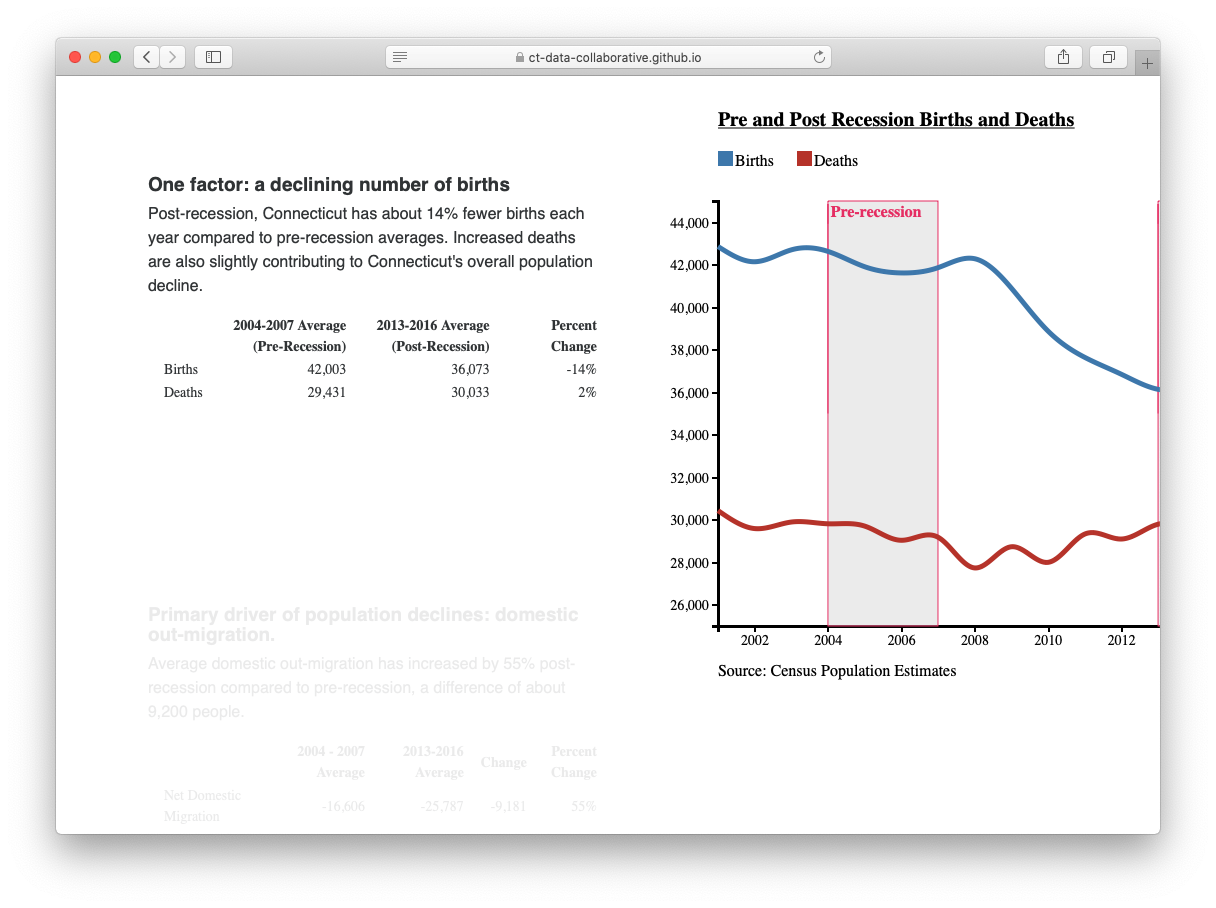
Migration and Population Trends in Connecticut
We look underneath the topline numbers to understand if the steady drumbeat that 'young people are leaving' or that the 'wealthy are leaving the state' is substantiated by the data.
Archived (Old Projects)
Connecticut Business Registration Data
Multiple tools to explore business registration data in Connecticut.
Connecticut Town Aid
Simulate Connecticut budget cut scenarios and explore the impacts statewide and locally.
Civic Health Index
The 2016 Civic Health Index looks at key indicators of civic life in Connecticut: how Connecticut residents engage in civic organizations and group activities, how attentive they are to community problem solving and politics, and how connected they are to family, friends, and neighbors.
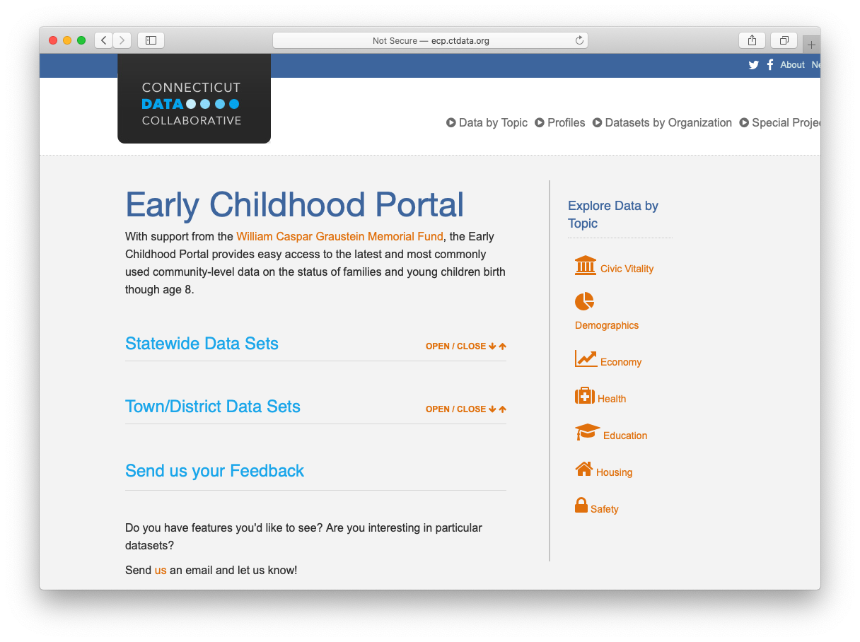
Early Childhood Portal
Easy access to the latest and most commonly used community-level data on the status of families and young children birth though age 8.
Living in An Aging Connecticut
Can Connecticut meet the needs of its changing demographics? And will we leverage the opportunities that come with ever-increasing numbers of older adults looking for ways to contribute their skills, talents and experience?
State Grants to Towns
Explore state payments to towns by grant, town, and fiscal year. The database includes information on 50+ state grants from FY 04 to FY 15.
